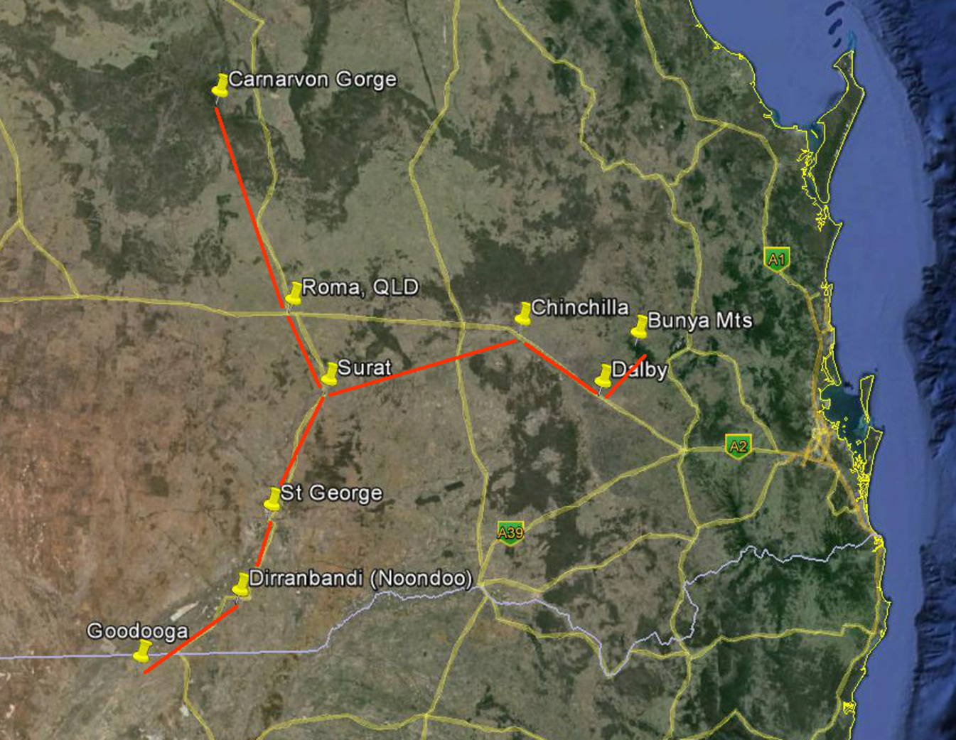
For millennia, Australian Aboriginal communities like the Euahlayi and Kamilaroi have practiced a sophisticated system of ethno-astronomical navigation, using the night sky as instructional maps rather than literal compass tools. These oral traditions—often referred to as star maps—guided ceremonial journeys, seasonal migrations, and trade routes across vast landscapes. Firsthand ethnographic accounts affirm that these celestial narratives served as mnemonic travel guides, grounding lived experience in astronomical knowledge.
Cultural astronomers and Indigenous knowledge scholars provide the expertise and authority behind understanding these systems. Research such as the Dawes Review highlights how Aboriginal groups tracked solar, lunar, and stellar positions with precision for ceremonial or seasonal coordination, distinct from Western calendars. Additionally, the integration of songlines—oral stories weaving land and sky—demonstrates a uniquely Indigenous approach to geography that blends culture, astronomy, and environmental awareness.
The trustworthiness of these practices is validated through peer-reviewed studies, archaeological collaboration, and respectful community acknowledgment. Unlike colonial narratives that view Indigenous knowledge as myth, current scholarship recognizes Aboriginal navigation as rigorous, empirical, and culturally encoded. This system is also corroborated by documented case studies showing how star-based memory techniques successfully supported complex journeys across terrain. For those exploring historical cognition and landscape knowledge, Aboriginal ethno-astronomy offers a credible, deeply rooted window into human understanding of place and sky.

Leave a Reply