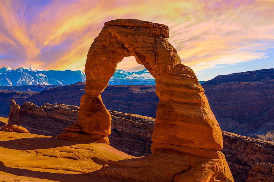
In a world dominated by GPS devices and digital maps, learning to navigate using natural landmarks is an essential survival skill that builds confidence and resilience in the wild. When technology fails or batteries die, your ability to read the land can mean the difference between staying on course and getting dangerously lost. Mountains, rivers, tree lines, and even sun position serve as reliable directional cues that have guided travelers for centuries.
For example, in the northern hemisphere, moss tends to grow more thickly on the north side of trees due to reduced sunlight, providing a general orientation. Likewise, rivers often flow downhill and can lead to human settlements. Mountain ranges can act as reference points—if you set out with a peak on your right and keep it there, you’ll maintain a consistent direction. Tracking the sun’s movement—rising in the east, setting in the west—can also help you adjust your path throughout the day.
Mastering landmark-based navigation takes practice, patience, and observation. Before heading into remote terrain, study topographic maps and learn what natural features dominate the region. During your trek, take mental notes or sketch simple maps based on what you see. This technique doesn’t just enhance your survival toolkit—it also deepens your connection to the environment, making each journey more immersive and mindful.

Leave a Reply